Drone photography rules in Chiang Mai: what's legal, what's banned
Can I fly a drone in Chiang Mai?
Legally, yes, but with meaningful restrictions: visitors must register recreational drones with Thailand's aviation and telecoms regulators before flying, and flying is effectively off-limits at temples, within a defined radius of Chiang Mai International Airport, over crowds, and in most national park areas including Doi Inthanon without a specific permit. Given how central temples and the airport's flight path sit within the city, many visitors find there's little practical, legal space left to fly a drone within Chiang Mai itself.
Chiang Mai looks like an obvious drone photography destination on paper — a mountain-ringed valley, a historic walled Old City, waterfalls and rice paddies within easy reach — but the practical legal reality is considerably more restrictive than the postcard shots you’ve probably seen online suggest. Thailand takes drone regulation seriously, and Chiang Mai’s specific geography, with temples, an international airport, and national park land all sitting close to the areas most visitors actually want to photograph, narrows the realistic, compliant flying options further than in many other destinations.
Quick answer: flying a drone in Thailand requires registering with the Civil Aviation Authority of Thailand (CAAT) and, in many cases, the National Broadcasting and Telecommunications Commission (NBTC) before you travel. Even with a registered drone, temples, the area around Chiang Mai International Airport, national parks including Doi Inthanon, and crowded public spaces are all effectively off-limits without specific permits. For most visitors, this leaves very little legal space to fly within the areas covered by this site’s photography guides.
Registration: the first hurdle, and it happens before you travel
Thailand requires recreational drone operators, including foreign visitors, to register their drone with CAAT, Thailand’s civil aviation regulator, and — depending on the drone’s weight and whether it carries a camera — also with the NBTC, the telecoms regulator, since most camera drones use radio frequencies that fall under its jurisdiction. This registration process is designed to be completed in advance, typically online, and isn’t something realistically handled after arrival in Chiang Mai. Visitors who arrive with an unregistered drone are already in a legally exposed position before they’ve flown at all, regardless of where they intend to fly it.
The specific registration requirement depends on the drone’s weight class and camera specification, with different thresholds triggering CAAT-only registration versus the additional NBTC step, so it’s worth checking the current requirements against your specific drone model rather than assuming a small consumer drone is automatically exempt. Some travelers assume that a lightweight, hobbyist-grade drone under a certain weight sits outside any registration requirement entirely; this isn’t a safe assumption to travel on, since Thailand’s rules have tightened over recent years and camera-equipped drones in particular tend to fall under at least one registration category regardless of weight.
Bringing a drone through Thai customs
Arriving with a drone in checked or carry-on luggage doesn’t itself trigger a customs issue for most visitors, but it’s worth having your registration paperwork accessible in case it’s requested, and being aware that airport security in Thailand, as elsewhere, will want to inspect a drone’s batteries specifically given standard lithium battery air travel rules. Spare drone batteries generally need to travel in carry-on luggage rather than checked bags, consistent with standard international air travel rules for lithium batteries, and it’s worth checking your specific airline’s policy on battery capacity limits before departure, since this is unrelated to Thailand’s drone laws specifically but affects whether you can bring the equipment at all.
Why temples are essentially off-limits
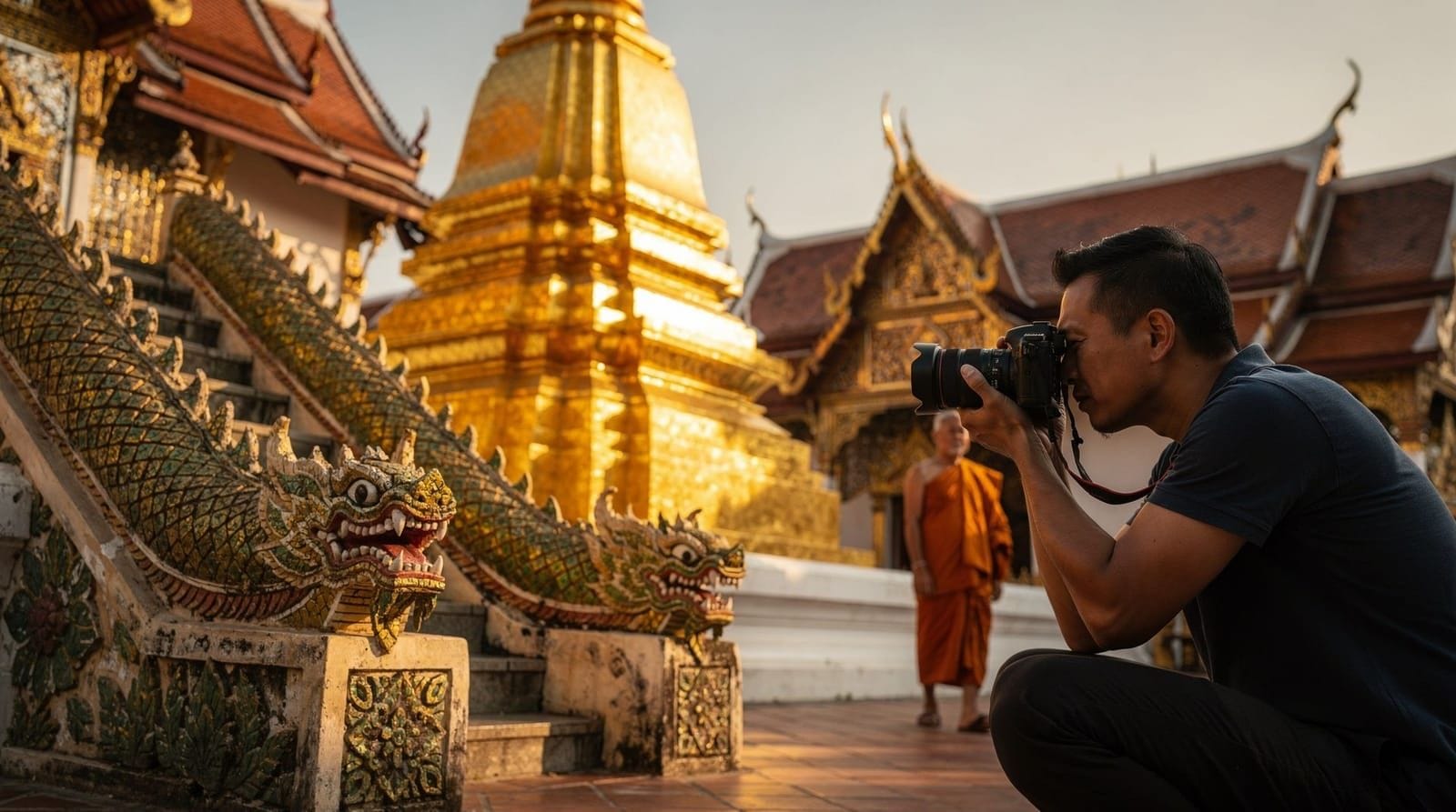
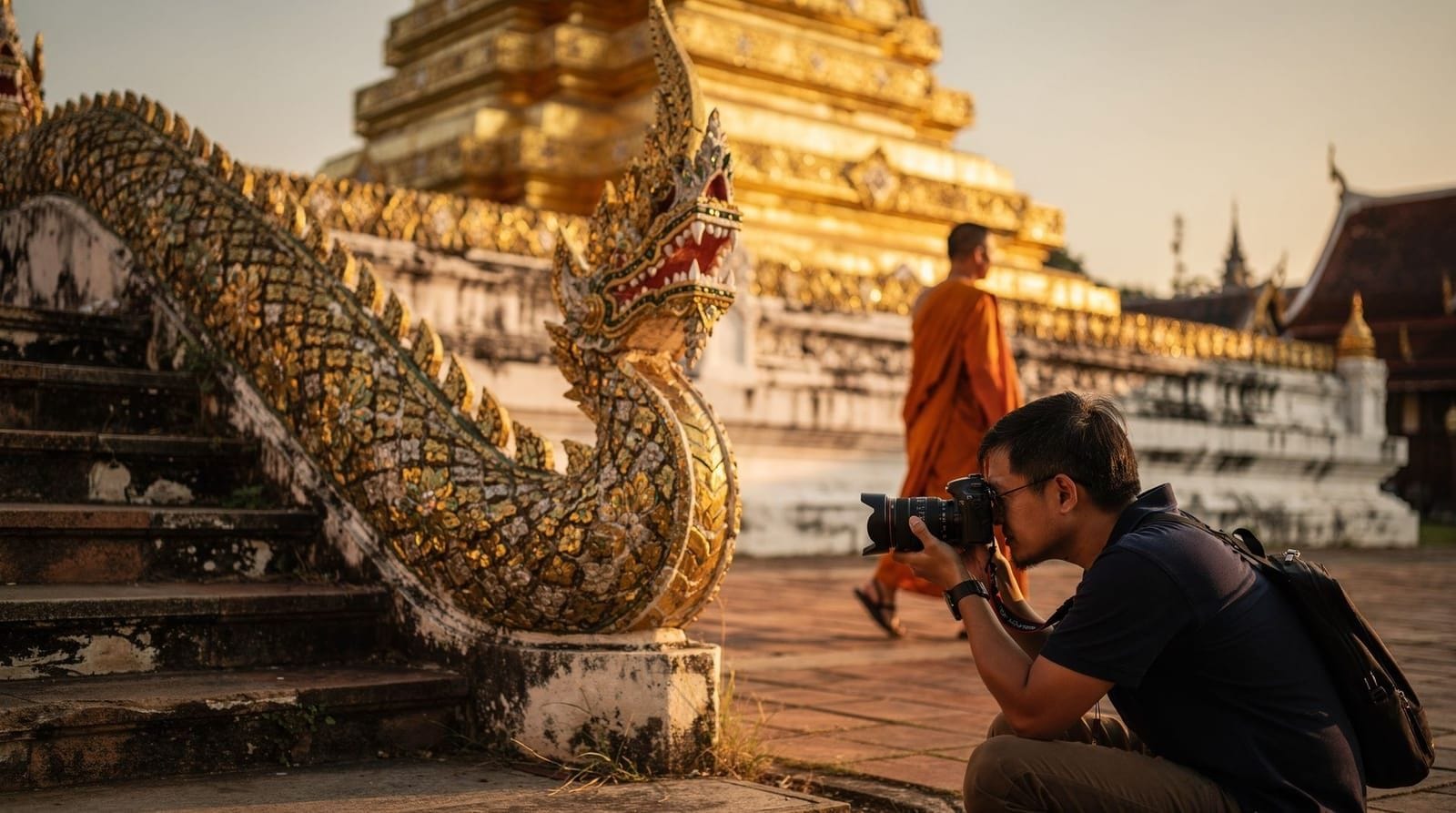
Every well-known temple covered elsewhere in our best photo spots guide and golden-hour temple photography guide — Doi Suthep, Wat Chedi Luang, Wat Phra Singh — shares the same basic drone posture: don’t fly here. The reasoning is consistent across sites: noise disruption during active worship and meditation, privacy concerns for worshippers and nearby residential areas, and basic safety risk around crowded courtyards, chedis, and other tall or fragile structures. Temples occasionally allow supervised commercial drone filming under specific arrangement, but this is not something a visiting tourist can assume or request casually on arrival, and it should not be confused with general permission to fly.
This restriction holds regardless of how quiet or how early in the morning you plan to fly. A common assumption is that a brief, early sunrise flight before other visitors arrive at a temple like Doi Suthep might go unnoticed or cause minimal disruption, but temple staff and monks are typically on site well before public opening hours for their own morning routines, and an early drone flight risks disrupting exactly the quiet, contemplative activity that happens before the crowds arrive — arguably a worse time to fly from a respect standpoint, not a safer one.
The airport radius problem
Chiang Mai International Airport sits close enough to the city center that its associated no-fly and restricted-altitude zones cover a meaningful portion of central Chiang Mai, including areas near the Old City that visitors might otherwise assume are open for casual drone use. Thailand’s aviation restrictions around airports apply regardless of a drone’s registration status — a registered drone flown within a restricted airport radius is still a violation. Given how compact Chiang Mai’s urban core is relative to the airport’s restricted zone, this alone rules out a large share of the city for legal drone flight.
Altitude restrictions layer on top of the horizontal radius as well — even outside the strictest no-fly zone immediately around the runway, Thailand imposes maximum altitude limits for recreational drones that apply across a wider area, meaning that even a technically permitted flight location may cap you well below the altitude that would produce a genuinely dramatic aerial shot of the city or mountains. Checking both the horizontal restricted zone and the applicable altitude ceiling for wherever you’re considering flying is necessary, not just confirming you’re outside the immediate airport boundary.
National parks: assume no, including Doi Inthanon
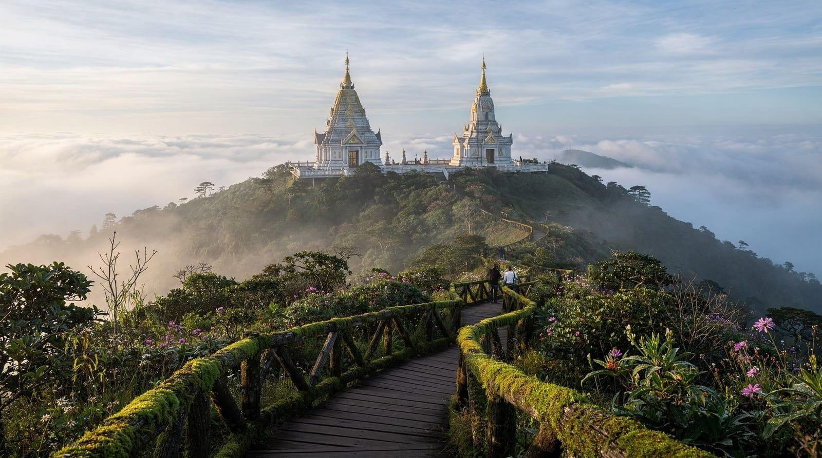
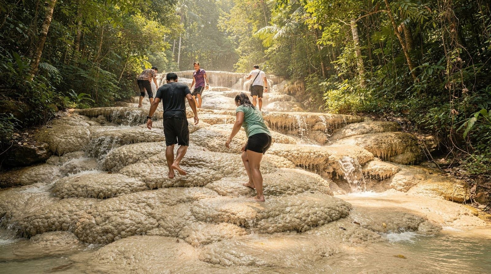
Doi Inthanon and Thailand’s other national parks generally prohibit recreational drone flights within their boundaries unless a specific permit has been arranged in advance, typically for commercial, scientific, or documentary purposes rather than casual tourist photography. This means the twin royal pagodas, waterfalls, and misty ridgelines that make Doi Inthanon such a strong photography destination on the ground are not legally available as drone subjects for the average visitor. The same default assumption applies to smaller protected areas around Sticky Waterfalls and other nature sites covered in our destination guides — check with park or site staff directly rather than assuming permission based on the absence of a visible sign.
Park rangers and entrance staff at Doi Inthanon are generally aware of the drone restriction and will typically ask a visitor to put a drone away if one is spotted being prepared for flight, rather than allowing it to launch and addressing it afterward. Wind conditions at Doi Inthanon’s elevation — noticeably stronger and less predictable than valley-floor conditions — add a further practical reason beyond the legal restriction why casual drone flight at altitude here is riskier than it might appear from ground level, even setting the permit question aside entirely.
Crowded public spaces and markets
Flying over crowds — a busy night market, a Sunday walking street, a lantern festival release — raises its own safety and privacy concerns distinct from the airport or national park restrictions, and it’s generally prohibited or at minimum strongly discouraged for good reason: a mechanical failure over a dense crowd carries real injury risk that doesn’t exist over open land. Even where a specific market or event doesn’t post an explicit drone ban, the basic safety case against flying over a packed public space applies regardless of the venue’s own policy.
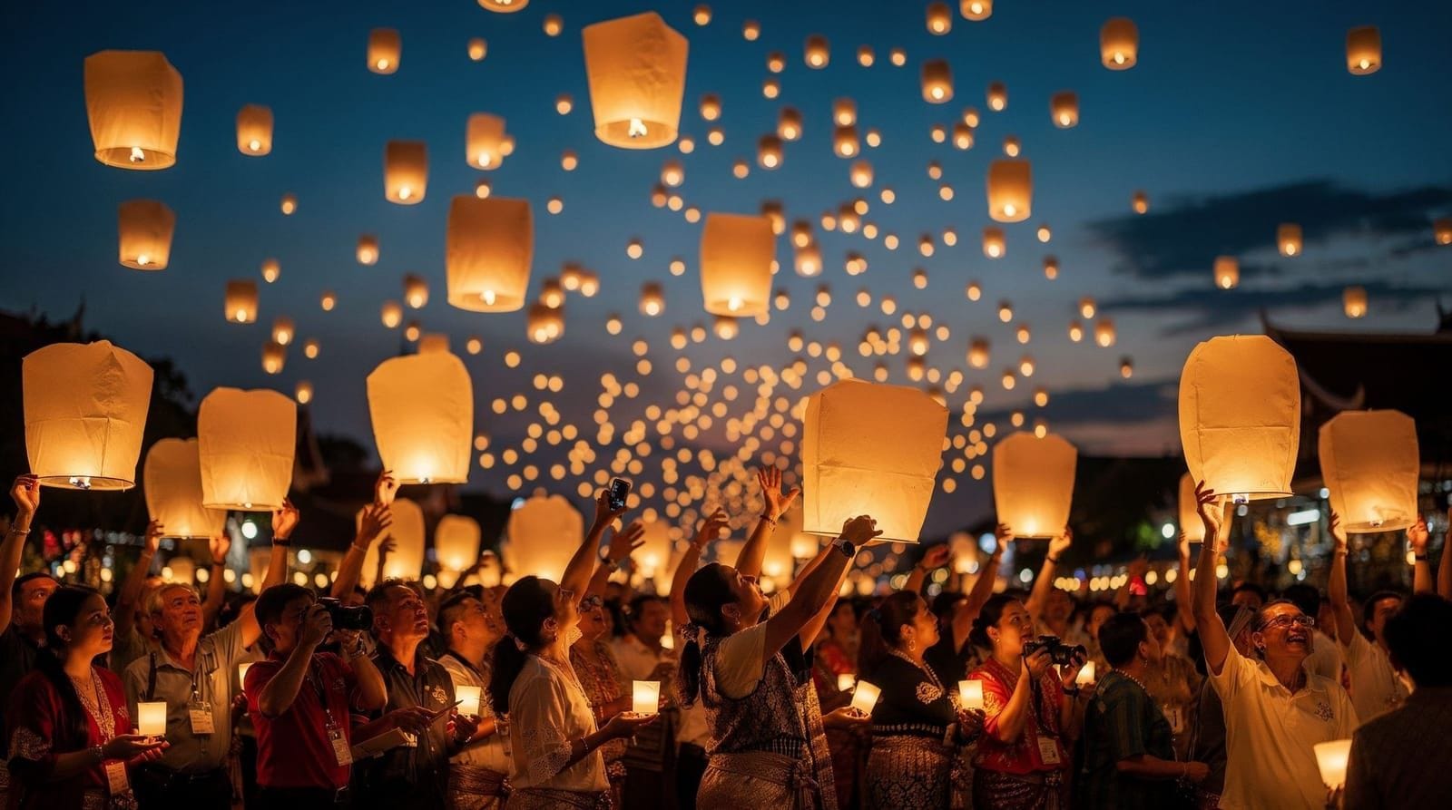
This is particularly relevant for anyone hoping to capture the Yi Peng lantern festival from above — an understandable instinct given how visually striking a mass lantern release looks from a bird’s-eye view, but combining a drone with a dense crowd, hundreds of rising lanterns, and low-light flying conditions stacks several distinct risks (collision with a rising lantern, injury to attendees below, and general low-visibility flight risk) on top of each other. Our Yi Peng lantern photography guide covers ground-level techniques that capture the scene’s scale effectively without any of this risk.
Where a legal flight is actually realistic
The most realistic scenario for a compliant recreational flight is open rural or agricultural land well outside the airport’s restricted radius, away from any temple, national park boundary, or crowd, ideally with awareness or permission from whoever owns or manages the land. This generally rules out the well-known sightseeing spots covered across our destination and photography guides and points instead toward quieter countryside areas outside the immediate day-trip circuit — not a satisfying answer for a visitor hoping to capture aerial shots of Doi Suthep or the Old City moat, but an honest one given the overlapping restrictions in play.
Why this differs from what you see on social media
Aerial drone footage of Chiang Mai’s temples and landscapes does circulate online, and it’s worth being skeptical about how much of it reflects casual tourist compliance versus commercial productions operating under specific permits, footage shot before current restrictions tightened, or content from operators accepting legal risk that an ordinary visitor shouldn’t assume is available to them too. A striking drone shot existing online is not evidence that flying to get it was legal or currently permitted, and building a trip plan around replicating a specific viral shot is likely to end in disappointment or, worse, a confiscated drone and a fine. This gap between what circulates online and what’s currently permitted on the ground is common enough across popular travel destinations generally that it’s worth treating any single dramatic aerial photo you’ve seen as inspiration rather than proof of what’s currently achievable within the law.
It’s also worth noting that regulations shift over time, generally in the direction of tighter restriction rather than looser, as drone use has grown and authorities worldwide, Thailand included, have responded to safety and privacy concerns with more comprehensive registration and no-fly frameworks than existed several years ago. A rule that applied loosely in an older travel blog post or social media caption isn’t a reliable guide to the current legal situation, and checking current CAAT guidance close to your travel dates is a better approach than relying on secondhand accounts from a prior trip.
Practical alternatives if you’re set on aerial-style shots
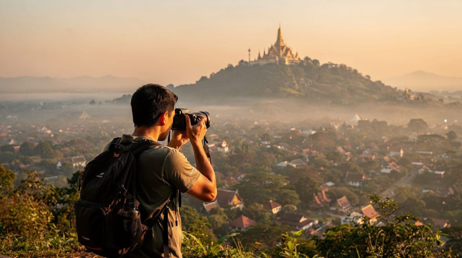
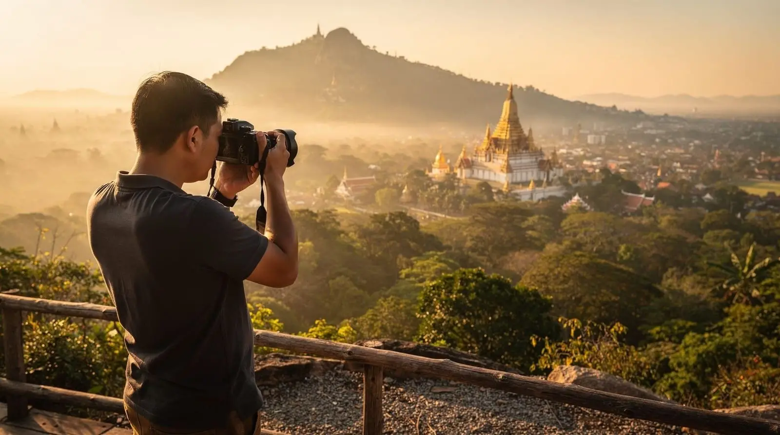
Several of the elevated viewpoints covered in our best photo spots guide — the terrace at Doi Suthep, the ridgeline views at Doi Inthanon, the hilltop position at Mon Cham — deliver a genuinely elevated, wide perspective without needing a drone at all, since they’re naturally positioned above the surrounding landscape. These give up the specific top-down angle a drone provides but avoid the entire legal question, and for most visitors, the resulting images are close enough to the aerial aesthetic to satisfy the same photographic goal without the registration burden, restricted-zone research, and equipment weight a drone adds to a trip.
A wide-angle lens attachment on a phone, or simply composing from the highest accessible legal vantage point at a given site, recovers much of the sense of scale that draws people to aerial photography in the first place. Some tour operators and photography-focused excursions also offer previously captured aerial imagery or licensed stock footage of well-known sites for visitors who want that specific perspective without personally navigating drone regulations, though this is a different product from personally shooting your own aerial content and worth being clear-eyed about that distinction before booking anything described loosely as a “drone tour.”
A note on enforcement and risk
Enforcement of drone rules in Thailand isn’t uniform or guaranteed to catch every violation, but the legal exposure for an unregistered drone or a flight in a restricted zone is real, ranging from confiscation of the drone itself to fines and further complications for a visitor who is, by definition, a guest in the country rather than a resident with easy recourse to navigate any dispute. Given how narrow the realistically compliant flying options are around Chiang Mai specifically — once temples, the airport radius, national parks, and crowded spaces are all excluded — most visitors find the practical calculation simply doesn’t favor bringing a drone on this particular trip, regardless of how compelling the aerial shots elsewhere online might look.
Travel insurance is a further, less-discussed consideration: many standard travel insurance policies either exclude drone equipment from coverage entirely or require a specific equipment rider, and separately, few policies will cover legal costs or fines arising from a drone-related violation abroad. Checking your specific policy’s stance on drone equipment and drone-related liability before departure is a small step that avoids an unpleasant surprise if equipment is lost, damaged, or confiscated during the trip.
Commercial versus recreational use: a different set of rules entirely
Everything covered in this guide addresses recreational, tourist-level drone use, which is the relevant category for the overwhelming majority of visitors reading it. Commercial drone operations — a professional photographer or videographer shooting for a client, a tour operator producing marketing content, a film production — fall under a separate, more involved licensing framework in Thailand, generally requiring specific permits tied to the commercial purpose and often coordination with the specific site or authority involved. If you’re traveling with drone equipment intending to shoot content for commercial use, whether for a client or for monetized social media content, it’s worth treating this as a materially different, more complex undertaking than casual recreational photography and researching the commercial-specific requirements separately well before travel, rather than assuming recreational registration covers a commercial shoot.
Before you pack a drone
If a drone is still part of your kit, complete CAAT (and NBTC, if applicable) registration well before departure rather than assuming it can be sorted on arrival, research the current restricted-zone map around Chiang Mai specifically rather than relying on general Thailand guidance alone, since city-specific airport and park boundaries matter, and go in expecting that most of the postcard subjects covered across our destinations and photography guides simply aren’t legally available as drone subjects on this trip.
It’s also worth having a realistic conversation with yourself about whether the equipment is worth the packing weight and travel hassle given how narrow the legal flying options turn out to be once you’ve mapped the airport radius, temple restrictions, and national park boundaries against wherever you’re actually planning to spend your time. Many visitors who research this thoroughly before the trip end up leaving the drone at home and relying on the elevated viewpoints and golden-hour techniques covered elsewhere on this site instead, which sidesteps the entire question without meaningfully compromising the quality of the photos they come home with. For everything achievable without a drone, our best photo spots and golden-hour temple photography guides cover ground-level alternatives that produce strong results without any of the legal complexity outlined here.