Huay Kaew Waterfall and the Monk's Trail hiking guide
Chiang Mai: Hike on Monk's Trail and Doi Suthep Private Tour
What is the Monk's Trail and where does it start?
The Monk's Trail is an unofficial forest hiking route starting near Huay Kaew Waterfall on the edge of Chiang Mai, climbing roughly 3-4km through jungle to Wat Pha Lat, a quiet forest temple, and continuing further uphill toward Wat Phra That Doi Suthep. It's a genuine hike, not a paved walk, taking most people 1.5-2.5 hours one way at a moderate pace, and is one of the few ways to reach Doi Suthep on foot rather than by songthaew or car.
The Monk’s Trail is one of Chiang Mai’s few genuine hiking routes that starts within easy reach of the city itself, climbing from Huay Kaew Waterfall on the lower slopes of Doi Suthep through forest to Wat Pha Lat, a quiet, half-forgotten temple, and continuing further uphill toward the far more famous Wat Phra That Doi Suthep. Locals used to call it the monks’ path because monks walking between temples along the mountain reportedly used this exact route before it became a hiking trail known to visitors.
Where the trail starts and what Huay Kaew Waterfall looks like
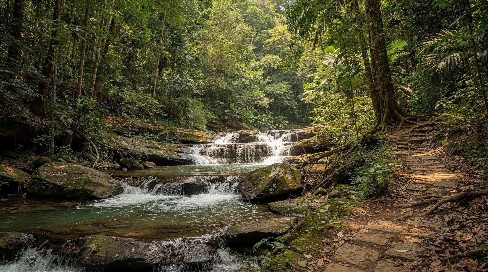
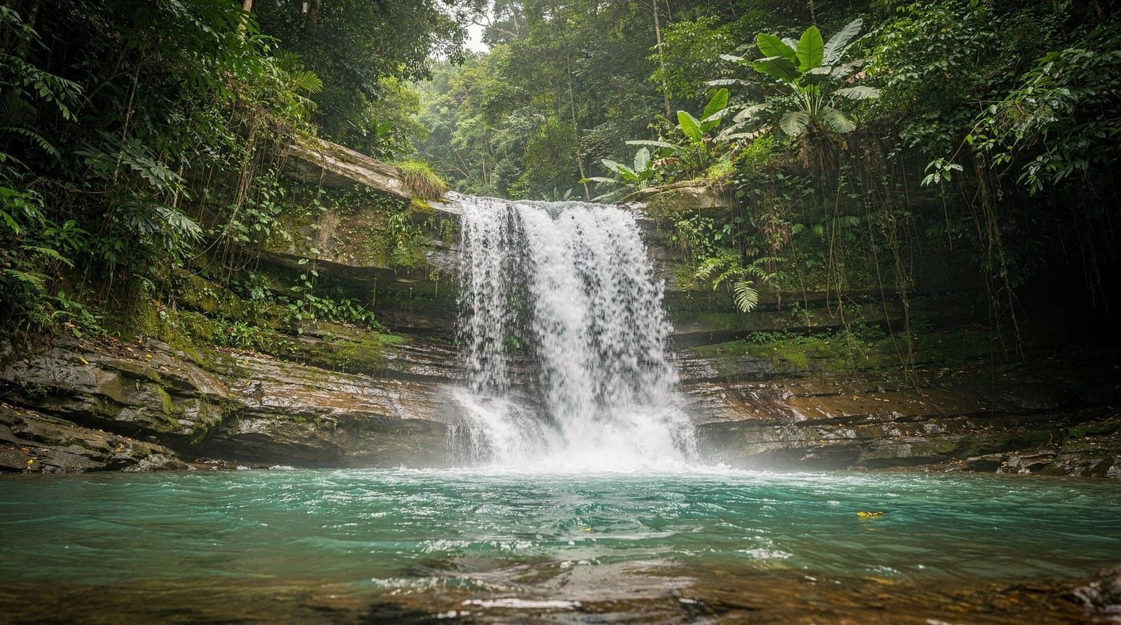
Huay Kaew Waterfall itself is modest by regional standards — a short cascade reachable within about 15-20 minutes of the Old City by songthaew or a brief drive, more of a pleasant approach walk than a destination in its own right. Most hikers treat it as the trailhead rather than lingering, since the real appeal of this stop is what lies uphill rather than the waterfall itself. A small park area near the falls marks the informal start of the trail proper, with a sign pointing hikers toward the forest path rather than the paved road most vehicles use to reach Doi Suthep.
The climb to Wat Pha Lat
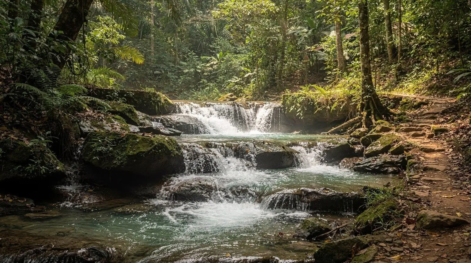
From the waterfall, the trail climbs roughly 3-4km through genuine forest — dirt path, rocky and root-covered sections in places, with ribbons and painted trail markers on trees guiding the route at junctions. It’s not a technical climb, but it is a continuous, moderate uphill effort, and most reasonably fit hikers cover the distance to Wat Pha Lat in 1.5-2.5 hours depending on pace and how many stops you take.
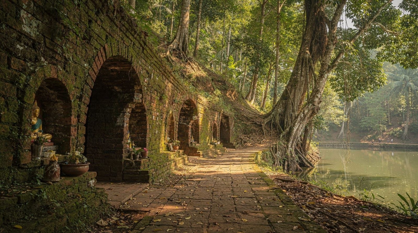
Wat Pha Lat itself is the trail’s real reward: a small, atmospheric forest temple built into a rocky hillside, with a stream running through the grounds, moss-covered stone naga statues, and a noticeably quieter, more contemplative feel than the busy main temple further up the mountain. Unlike Doi Suthep, which draws large tour groups and can feel crowded by midday, Wat Pha Lat sees a fraction of the visitors, despite sitting on the same mountain and being connected by the same trail.
Continuing on to Doi Suthep
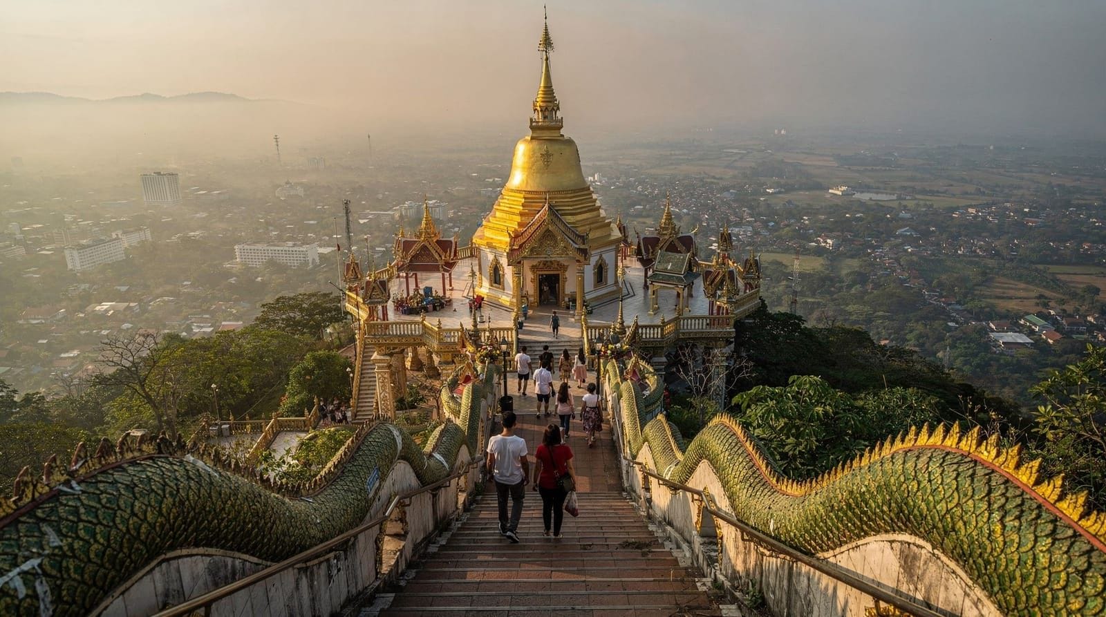
Past Wat Pha Lat, the trail continues further uphill, eventually meeting the main road that leads to Wat Phra That Doi Suthep, Chiang Mai’s most visited temple. Reaching the temple itself on foot from here requires additional walking along or near the road, and many hikers choose to end their hike at Wat Pha Lat and either walk back down or catch a songthaew from the main road up to the temple rather than completing the entire ascent on foot. If a full temple visit is your priority for the day, our Doi Suthep temple guide covers what to expect once you arrive, whether on foot or by vehicle.
Hiking up vs. hiking down
Most guides and hikers describe the route starting at Huay Kaew and finishing near Doi Suthep, but the reverse direction is entirely viable and some hikers prefer it: take a songthaew up to the temple first, then walk down through Wat Pha Lat to Huay Kaew. This front-loads the easier, downhill walking onto legs that are less tired than they’d be at the end of an uphill climb, though it does mean arranging your own transport back from Huay Kaew at the bottom rather than simply catching a ride up from the temple at the end.
Guided vs. independent hiking
The trail is popular and marked well enough that many hikers do it entirely independently with an offline map and attention to the ribbon markers at junctions. That said, it isn’t an official, signposted national park trail the way Doi Inthanon’s boardwalks are, so a wrong turn is possible if you’re not paying attention. A guided private Monk’s Trail and Doi Suthep hike removes that risk entirely and typically adds context about Wat Pha Lat’s history and the forest itself that’s easy to miss hiking alone.
For a lower-effort alternative that still includes both stops, a Doi Suthep temple and Wat Pha Lat hike tour combines a shorter guided walking segment with vehicle transport for the rest, useful if you want the atmosphere of Wat Pha Lat without committing to the full uphill trail. A half-day morning Wat Pha Lat and Doi Suthep tour is timed to reach both stops before the midday heat and crowds build.
Timing and light
Morning is the clear choice for this hike — cooler temperatures for the uphill climb, softer light filtering through the forest canopy, and arrival at Wat Pha Lat before it picks up whatever modest crowd it does see during the day. Some visitors instead time a visit for late afternoon specifically to catch sunset light from a viewpoint further along the route; a sunset point, Wat Pha Lat, Doi Suthep, and Wat Umong tour is built around exactly this later-day timing and adds Wat Umong, the forest tunnel temple, into the same outing.
What to bring
Proper closed hiking shoes rather than sandals, given the uneven forest floor; more water than you think you’ll need, since there’s no reliable place to refill along the trail itself; sun protection for the exposed sections near the start and end; and a phone with an offline map loaded, since cell signal can be patchy in the forested middle section.
Practical notes and safety
The trail is generally considered safe and heavily used enough that hiking alone during daylight hours isn’t a significant concern, though starting early rather than late in the day gives more daylight buffer if you move slower than expected. Rain makes the dirt path considerably more slippery, so the dry and cool seasons (November-May) are the more comfortable window for this specific hike compared to the rainy months.
Where the trail’s name actually comes from
The “Monk’s Trail” name reflects the route’s original, practical purpose rather than a marketing invention — monks based at temples along Doi Suthep reportedly used this same forest path to travel between Wat Pha Lat and the main temple higher up the mountain, long before it became known to hikers and visitors. Ribbons tied along the route today, in addition to marking the path for hikers, echo a tradition of marking forest routes used for temple business and pilgrimage. Walking the trail with this context in mind — as a working route between two active religious sites rather than a purpose-built tourist trail — adds a layer of meaning that’s easy to miss if you treat it purely as exercise.
Wildlife and forest along the way
The forest the trail passes through is a mix of secondary growth and denser original cover, home to a reasonable range of birdlife and the occasional monkey troop, more active and visible in the quieter early morning hours before the trail’s peak foot traffic builds. It’s not a dedicated wildlife-watching route, and most hikers are focused on the climb itself rather than birding, but keeping an eye and ear open along the quieter middle stretches between the waterfall and Wat Pha Lat can turn up a genuinely different side of the forest than the paved road up to Doi Suthep offers.
Combining the hike with Wat Umong
Travelers with extra time sometimes extend a Monk’s Trail visit to include Wat Umong, the forest tunnel temple on the opposite side of the mountain’s base, known for its underground meditation tunnels and resident talking-tree recordings. It’s not directly connected to the Monk’s Trail itself and requires separate transport between the two sites, but both share a similar quiet, forest-temple atmosphere that appeals to travelers who found Wat Pha Lat’s calm a welcome contrast to the busier main Doi Suthep temple.
Easier alternatives if the full hike feels too demanding
If the full uphill trail sounds like more physical commitment than you want, a shorter option is to drive or take a songthaew partway up the Doi Suthep road to a point near Wat Pha Lat, then walk only the short remaining stretch to the temple itself rather than starting from Huay Kaew at the bottom. This gives you the atmosphere of Wat Pha Lat — the genuine highlight of the route for most visitors — without the full 3-4km climb. Several of the guided tours mentioned above are structured with exactly this shorter, more accessible format in mind, useful for travelers who want the temple experience without the hiking commitment.
A realistic itinerary for a half day
Depart the city by mid-morning, allow 1.5-2.5 hours for the climb from Huay Kaew to Wat Pha Lat with stops to enjoy the temple grounds, then either retrace your steps downhill or catch a songthaew from the main road near the temple back toward the city. Visitors who’d rather front-load the harder walking should consider starting from Doi Suthep instead and walking down, arranging transport back from Huay Kaew at the finish. Either direction, allow extra buffer time beyond the stated hiking duration for genuinely enjoying Wat Pha Lat rather than treating it as a brief photo stop along a longer walk.
Comparing the Monk’s Trail to other Chiang Mai hikes
Within the immediate Chiang Mai area, the Monk’s Trail is the most accessible genuine hiking route, starting within a short songthaew ride of the Old City rather than requiring a longer drive out to Doi Inthanon or Chiang Dao for a comparable forest walk. It’s shorter and less demanding than a full trekking day in the hills around Mae Hong Son or a multi-day trek toward Doi Pha Hom Pok, making it the sensible choice for travelers who want a genuine hike without dedicating a full day or an overnight to the effort. Compared to Doi Inthanon’s Kew Mae Pan trail, the Monk’s Trail trades open ridge views for forest atmosphere and historical and religious significance at Wat Pha Lat — a different kind of reward rather than a lesser one.
Why Wat Pha Lat stays quiet despite being on the same mountain as Doi Suthep
It’s a fair question why a temple sharing the same mountain as one of Thailand’s most visited religious sites sees only a fraction of the visitors. The answer is largely about access: Wat Pha Lat has no direct road access for tour buses and coach groups, reachable only by the forest trail itself or a short walk from a specific point on the main road, which effectively filters out the large group tours that account for much of Doi Suthep’s crowding. This isn’t accidental neglect but a natural consequence of the temple’s setting, and it’s part of why hikers who make the effort to reach it describe the atmosphere as meaningfully different from the busier main temple above.
What to do if you’re short on time but still want the experience
If a full hike genuinely doesn’t fit your schedule, the most time-efficient way to still experience Wat Pha Lat’s atmosphere is joining one of the shorter guided options that combine a brief walking segment with vehicle transport for the rest of the day’s sightseeing, rather than attempting either the full uphill or downhill route independently. This trades some of the sense of achievement that comes with completing the full trail for a realistic fit within a tighter one-day Chiang Mai itinerary that might also include Doi Suthep itself and other city stops on the same day.
Final honest take on whether the hike is worth it
For travelers with a genuine interest in hiking and a reasonable level of fitness, the Monk’s Trail is arguably the best value outdoor activity within easy reach of central Chiang Mai — free beyond your own transport to the trailhead, requiring no advance booking if you’re comfortable navigating independently, and rewarding the effort with one of the quieter, more atmospheric temples in the entire region. For travelers who’d rather skip strenuous walking, the shorter guided alternatives covering just Wat Pha Lat still deliver the temple’s distinctive calm without the full climb, making this a flexible option regardless of your fitness level or time constraints.
Frequently asked questions about the Monk’s Trail
How long is the Monk’s Trail in total?
Roughly 3-4km from Huay Kaew Waterfall to Wat Pha Lat, taking most hikers 1.5-2.5 hours one way, with additional distance and time if you continue on to Doi Suthep temple itself.
Is the Monk’s Trail suitable for beginners?
It’s a moderate, non-technical hike suitable for most reasonably fit beginners, though it’s a continuous uphill climb rather than a flat walk, so some baseline fitness helps.
Can I do the Monk’s Trail as a half-day activity?
Yes — most visitors complete the hike to Wat Pha Lat and back, or continue one-way to Doi Suthep and take transport back, within a half day starting in the morning.
Is there an entrance fee for the Monk’s Trail or Wat Pha Lat?
The trail itself is free. Wat Pha Lat operates on a donation basis rather than a fixed entrance fee, unlike the paid entry at Wat Phra That Doi Suthep further up the mountain.
What happens if I take a wrong turn on the trail?
Ribbon and paint markers on trees guide most junctions, and the trail sees enough regular foot traffic that backtracking to the last marked point usually resolves any confusion. An offline map as backup is a sensible precaution.
Top experiences
Bookable activities with verified prices and instant confirmation on GetYourGuide.